How Do Pilots Navigate in the Sky? Here’s What You Should Know
How Do Pilots Navigate in the Sky? Here's What You Should Know
Air travel is known for being one of the fastest and most comfortable modes of transportation. But have you ever looked out the window mid-flight and wondered — how does the pilot know which direction to go when flying so high above the ground, with no visible roads or signs? It’s a question that crosses many people’s minds. After all, navigating through the sky isn’t as straightforward as driving on a highway. So, how exactly do pilots find their way?
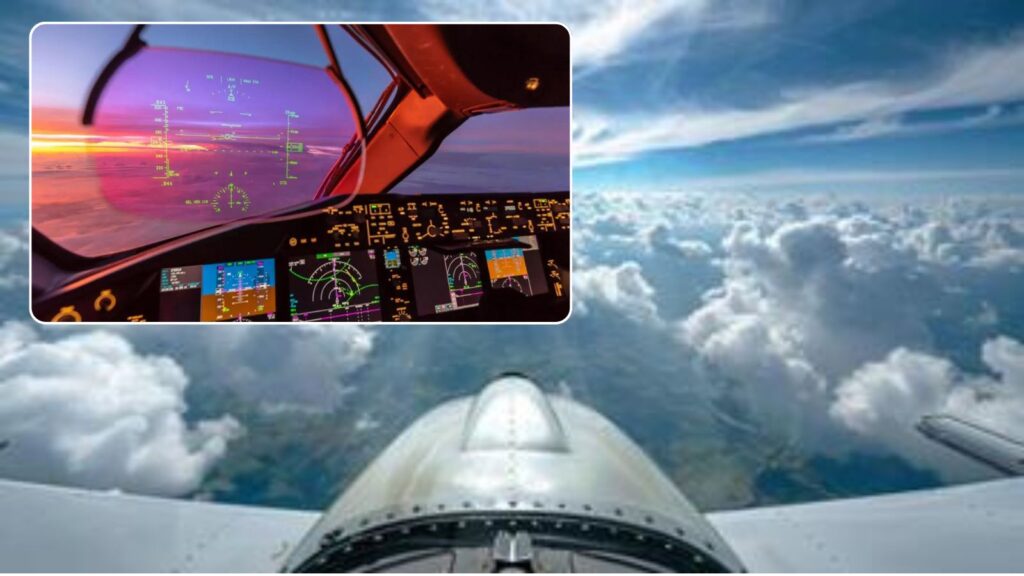
The answer lies in the advanced technology and systems used in modern aircraft. When a pilot takes off, they rely on several key tools — including the aircraft’s built-in radio systems, radar, and GPS. These instruments work together to help the pilot stay on course and ensure a safe and smooth journey.
But that’s not all. Pilots are also guided by Air Traffic Control (ATC), which plays a crucial role in directing aircraft and providing real-time instructions about direction, altitude, and route. This communication helps avoid collisions and keeps air traffic organized, especially in busy skies.

To further enhance navigation accuracy, pilots use a device called the Horizontal Situation Indicator (HSI). This system displays important flight information in a way that’s easy to understand, helping the pilot maintain the correct route throughout the flight. So, while the sky may seem like a vast, directionless space, pilots are equipped with sophisticated tools and continuous support that help them navigate with precision and confidence.