India’s Largest Districts: Any Guesses Which One Leads the List?
India’s Largest Districts: Any Guesses Which One Leads the List?
Vast landscapes mark the nation’s largest administrative divisions
India, the world’s seventh-largest country, covers 3,287,263 square kilometres and stretches 3,214 km from north to south and 2,933 km from east to west. The nation’s 28 states and 8 union territories are divided into districts and talukas, each varying greatly in size. Among them, some districts stand out for their sheer expanse.
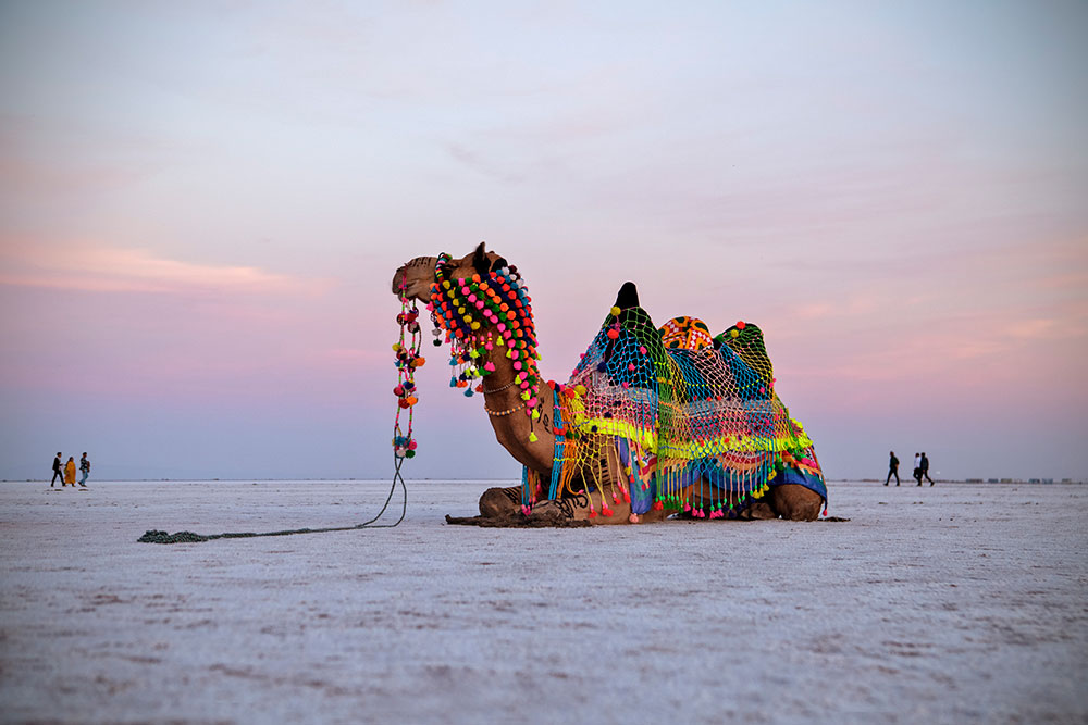
Topping the list is Kachchh in Gujarat, spread over 45,674 sq km. Known for its salt marshes in the Rann of Kachchh and a rich cultural heritage, it is also home to 54 talukas, the most in any Indian district.
In second place is Leh in the union territory of Ladakh, covering 45,110 sq km, renowned for its rugged terrain and status as a high-altitude tourist hub.

Jaisalmer in Rajasthan ranks third with 38,401 sq km, famed for its golden fort and desert landscape.
Following it are Bikaner (30,239 sq km), Barmer (28,387 sq km), and Jodhpur (22,850 sq km), all in Rajasthan, a state that dominates the list with six entries.
From Andhra Pradesh, Anantapur (19,130 sq km), Mahbubnagar (18,432 sq km), and Kurnool (17,658 sq km) feature prominently.
Rajasthan’s Nagaur (17,718 sq km) rounds off the top ten.
These districts, though vast in size, vary dramatically in geography, from arid deserts and salt flats to lush farmlands and rocky plateaus reflecting the diversity of India’s terrain.