Comparison between Mappls and Google Maps: 5 standout features of India’s homegrown navigation app
Comparison between Mappls and Google Maps: 5 standout features of India’s homegrown navigation app
With hyperlocal accuracy and India-specific tools, Mappls by MapmyIndia is redefining digital navigation for Indian roads.
In a space long dominated by Google Maps, India’s very own Mappls, developed by MapmyIndia, is fast emerging as a strong local challenger. Backed by decades of detailed mapping and an understanding of uniquely Indian road conditions, Mappls combines innovation with local relevance — offering tools that global apps often overlook.
Founded by Rakesh and Rashmi Verma, MapmyIndia has been mapping Indian terrains since 1995. While Google Maps remains dominant among smartphone users, Mappls has built a solid reputation in the automotive OEM sector, powering navigation systems for cars, bikes, and electric vehicles across India. Here’s how Mappls stands out from its global rival:
1. Mappls Pin — Digital addressing for every doorstep
One of Mappls’ most celebrated innovations is the Mappls Pin, a six-character digital code that represents an exact location. Designed to overcome the challenge of unstructured Indian addresses, the pin provides door-level accuracy even in crowded colonies or remote rural regions. Integrated with India’s DIGIPIN system, it works similarly to Google’s Plus Codes but is specifically adapted to Indian addressing patterns.

2. Live traffic signal timers
A first-of-its-kind feature in India, Mappls shows real-time traffic signal countdowns, currently active in Bengaluru. The app displays timers for red and green lights, allowing drivers to plan speed and stops better. Using AI-driven adjustments, these signals respond dynamically to traffic density, helping reduce congestion and improve commute flow.

3. Toll and fuel cost calculator
Beyond directions, Mappls helps users estimate toll charges and fuel expenses before starting a trip. For long-distance travellers and commercial drivers, this feature provides route options not only based on time or distance but also on total travel cost, enabling smarter and more economical decisions.
4. 3D junction and flyover views
To make complex interchanges easier to navigate, Mappls offers realistic 3D junction views that clearly show lanes, exits, and nearby landmarks. These detailed visuals are especially useful in metropolitan areas filled with multi-layered flyovers, helping reduce wrong turns and confusion.
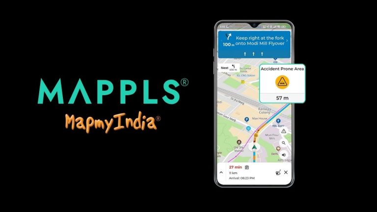
5. Alerts for Indian road conditions
Mappls provides real-time alerts for speed breakers, potholes, sharp turns, and speed cameras— hazards that Indian drivers frequently face. This localised data, collected through years of ground-level mapping and partnerships such as with ISRO, ensures a safer and more accurate driving experience.
While Google Maps continues to dominate globally, Mappls’ India-first design and deep understanding of local realities give it a distinctive edge. For users navigating the diversity of Indian roads — from metro cities to rural interiors — Mappls stands as a symbol of self-reliant innovation and homegrown technological excellence.