Maharashtra’s Ready Reckoner Rates To Get A Reality Check With GIS Mapping
Maharashtra's Ready Reckoner Rates To Get A Reality Check With GIS Mapping
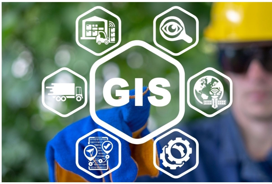
Maharashtra’s Ready Reckoner (RR) rates are set to become more realistic, thanks to the nearing completion of GIS mapping of land parcels across the state. The Maharashtra Remote Sensing Application Centre (MRSAC) has finished mapping all rural areas and 50% of urban regions and influential value zones.
According to registration officials, the data collected through GIS mapping will likely be used to assess RR rates for next year. This move aims to bring more transparency and accuracy to the process of determining property values.
https://igrmaharashtra.gov.in/Home

Currently, RR rates are compiled based on averages of market rates, local enquiries, and other factors. However, this subjective system often results in rough estimates. The GIS mapping will provide a clearer picture of the area, enabling more scientific and accurate assessments.

The integration of GIS data with the registration website will also prevent random rate assignments. Geospatial technology will help estimate RR value zones based on correct geographic locations of properties.
This development is a significant step towards addressing the long-standing demand for realistic RR rates. Consumer activists have been pushing for this change, and the introduction of a geoportal providing details of RR rates and land prices will undoubtedly benefit all stakeholders.
The new system will process GIS data from various sources, including village cadastral maps, gaothan areas, highways, and population figures, to determine Annual Statement of Rates (ASR) or RR rates. With RR rates remaining unchanged since 2022, this update is expected to bring a more realistic and accurate approach to property valuation.