Discover Maharashtra’s Wonders: Towering Sahyadris, Sacred River Trails, Lush Plateaus, and the Scenic Konkan Coastline
Discover Maharashtra’s Wonders: Towering Sahyadris, Sacred River Trails, Lush Plateaus, and the Scenic Konkan Coastline
From Sahyadris to sacred rivers, Maharashtra stands tall as India’s geographical crown in the west.
Maharashtra, the third-largest state in India by area and second by population, holds immense geographical significance in the Indian subcontinent. Situated in the western peninsular region, this diverse land is framed by majestic mountain ranges, river systems, and plateaus that shape its unique identity and influence its cultural and economic fabric.
Geographical Location and Borders
Maharashtra lies between 16° N to 22° N latitude and 72° E to 80° E longitude. It is bounded by:
- Arabian Sea to the west
- Gujarat and Madhya Pradesh to the north
- Chhattisgarh to the east
- Telangana and Karnataka to the south
- Goa to the southwest

This strategic location places Maharashtra at the heart of western India, making it a natural corridor for trade, agriculture, and cultural exchange.

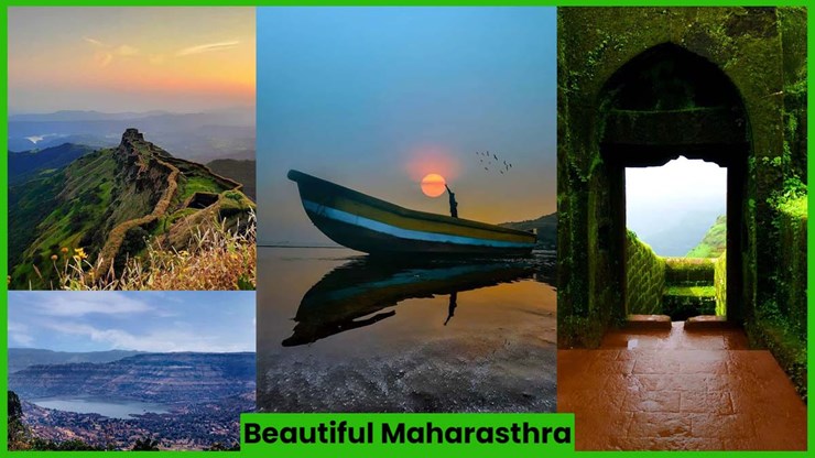
Mountain Ranges: The Sahyadri Backbone
Maharashtra is defined by three major hill ranges:
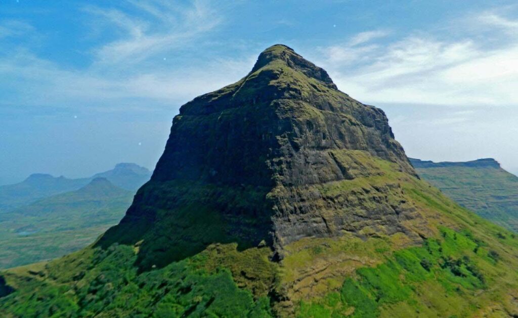
- Sahyadri Hills (Western Ghats)
- Also known as the Sahyadri Range, they run parallel to the western coast and are part of the UNESCO World Heritage list for their biodiversity.
- Highest peak: Kalsubai (1,646 meters), the tallest in Maharashtra.
- Known for: Dense forests, wildlife sanctuaries, and eco-tourism.
- Satpura Range
- Lies in the northern part of the state, bordering Madhya Pradesh.
- Acts as a natural divide between the Narmada and Tapti basins.
- Ajanta Range
- Located in the north-central region, it houses the famous Ajanta Caves.

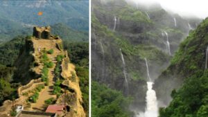
Ghats of Maharashtra
Maharashtra is home to five prominent Ghats, which are key to its transportation and climate:
- Thal Ghat (connects Mumbai to Nashik)
- Bhor Ghat (connects Mumbai to Pune)
- Amboli Ghat (Sindhudurg district, scenic and green)
- Kasara Ghat (on the Mumbai–Nashik route)
- Ambenali Ghat (connects Mahabaleshwar to Poladpur)
These ghats are not only mountain passes but also corridors of ecological significance and tourism.

River Systems: Lifelines of Maharashtra
Maharashtra is blessed with major rivers that are crucial for agriculture, hydroelectricity, and daily life:
- Godavari – The longest river in Maharashtra, often called the Dakshin Ganga.
- Krishna – Originates in Mahabaleshwar, flows through the southern region.
- Tapi (Tapti) – Flows westward into the Arabian Sea.
- Bhima – A major tributary of Krishna, important for Pune and Solapur regions.
- Wardha & Wainganga – Flow through eastern Vidarbha, joining to form the Pranhita, a major tributary of the Godavari.
- Purna – A tributary of the Tapti, important for the Khandesh region.
Coastal Maharashtra and the Konkan Region

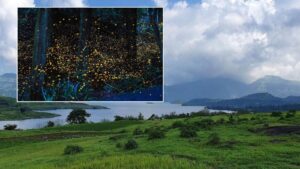
Maharashtra’s coastline stretches approximately 720 km along the Arabian Sea, forming the Konkan coast, known for:
- Narrow coastal plains
- Rich biodiversity
- Hill forts and beaches
- Alphonso mangoes and cashew farming

Plateaus and Basins
- Deccan Plateau dominates much of Maharashtra’s landscape.
- The Maharashtra Plateau is rich in black cotton soil, making it ideal for agriculture.
- River basins like Godavari, Bhima, and Krishna are vital to irrigation and crop cultivation.

Maharashtra’s physical geography is a story of contrasts from the towering Sahyadris to fertile river basins and coastal belts. This blend of mountains, rivers, ghats, and plains not only defines its ecological richness but also nurtures its economic, spiritual, and cultural life.