
Monsoon Update: 95% of India Blanketed by Clouds, Heavy Rain Likely in Several States
Monsoon Update: 95% of India Blanketed by Clouds, Heavy Rain Likely in Several States
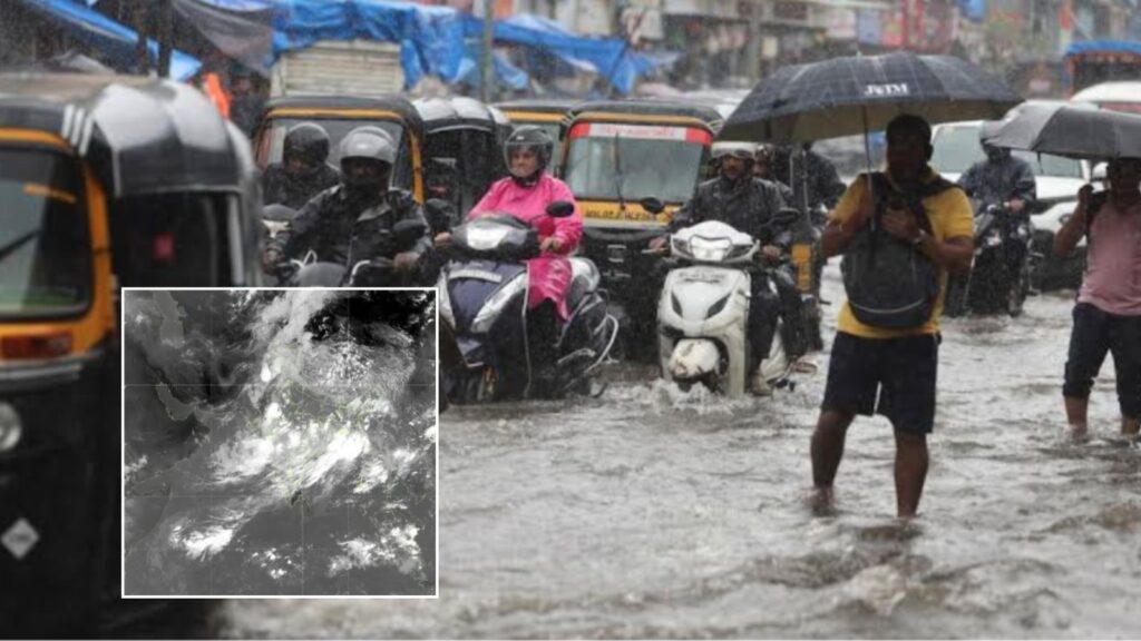
22 July, 2026: Fresh satellite images released by the Indian Space Research Organisation (ISRO) have captured an extraordinary view of the southwest monsoon, showing nearly 95% of India covered by clouds during the early hours of July 22. The images, recorded by INSAT-3DR and INSAT-3DS satellites between 2:15 am and 3:27 am, indicate widespread cloud cover stretching across almost the entire subcontinent.
The thermal infrared images, which detect heat rather than visible light, revealed a vast cloud band extending from the northern Bay of Bengal across Odisha, Chhattisgarh and Madhya Pradesh towards Gujarat and the Arabian Sea. Only parts of western Rajasthan and the Kutch region showed relatively clear skies.

Water vapour imagery also highlighted abundant moisture flowing from the Arabian Sea towards the Himalayan region. Meteorologists say this continuous supply of moisture supports the formation of rain-bearing clouds over several days instead of just a few hours.

Another set of satellite observations measured cloud-top temperatures, an important indicator of thunderstorm intensity. The coldest cloud tops, located over Bihar, the Northeast and the Himalayan foothills, registered temperatures below minus 60 degrees Celsius, with some dropping below minus 80 degrees Celsius. Such low temperatures suggest towering cumulonimbus clouds reaching heights of nearly 12 to 16 kilometres, capable of producing intense rainfall and thunderstorms.
The satellite observations align with recent rainfall data recorded by the India Meteorological Department (IMD). Meghalaya’s Williamnagar received around 37 cm of rainfall, while Shama in Uttarakhand recorded nearly 22 cm within 24 hours, highlighting the impact of these powerful storm systems.
According to the IMD, the monsoon trough remains close to its normal position across northern India. Cyclonic circulations over Punjab, southern Uttar Pradesh, the Jharkhand-Bihar region, southwest Rajasthan and Assam are expected to support continued rainfall. A mid-level atmospheric trough extending from the west-central Bay of Bengal to the northeast Arabian Sea is also contributing to the widespread cloud formation.
Despite the impressive cloud cover, weather experts caution that it may not be enough to completely erase India’s seasonal rainfall deficit. June 2026 ended with significantly below-normal rainfall, making it one of the driest Junes in more than a century. While active monsoon conditions are expected over northwest and northeast India over the next four to five days, rainfall activity is likely to remain relatively subdued across west-central and southern peninsular India.
Meteorologists say the latest satellite imagery represents an encouraging sign for the ongoing monsoon, but sustained rainfall over the coming weeks will be necessary to substantially improve the season’s overall rainfall performance.