10 Forts Within 70 km of Pune: A Monsoon Trekker’s Complete Guide
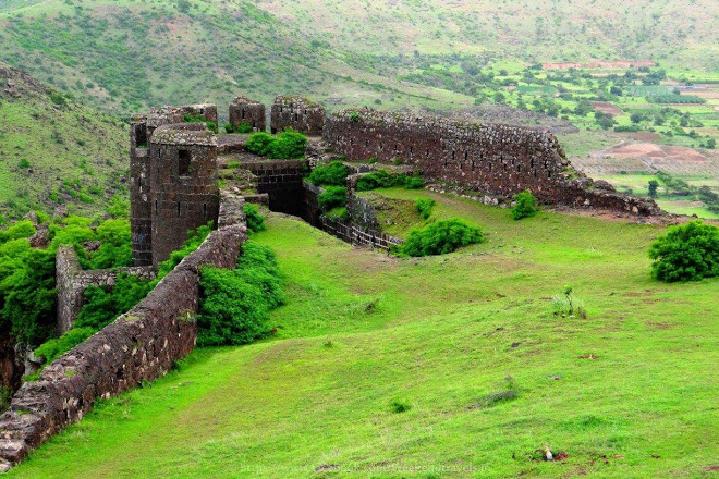
10 Forts Within 70 km of Pune: A Monsoon Trekker's Complete Guide
From the first fort Shivaji ever captured to a hilltop that the British called the Eagle’s Nest, these are the forts that define the Sahyadris around Pune sits at the edge of some of the most fort-dense terrain in India.
By Vidhi Lalla
Pune: Within 70 kilometres in almost every direction, the Sahyadri hills carry the ruins and ramparts of fortresses that shaped the Maratha Empire, held off Mughal armies, and now draw thousands of trekkers every monsoon season. Here is a fort-by-fort guide to every one worth knowing, in order of distance from Pune.

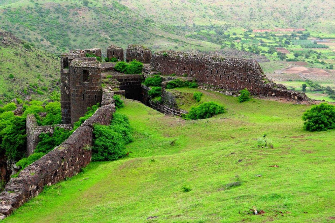
Malhargad Fort: 29 km
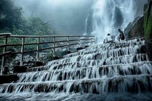
Also known as Sonori Fort, Malhargad is the closest fort on this list and one of the most accessible for a quick half-day outing. Located near Sonori village in the Bhor region, the trek frzom the base takes roughly 30 minutes and is rated easy. During the monsoon, small waterfalls spring up across the hillside and the open hilltop offers wide views of the surrounding Sahyadri range. Its proximity to the city makes it ideal for beginners, families, or anyone who wants a genuine fort experience without planning a full day around it.
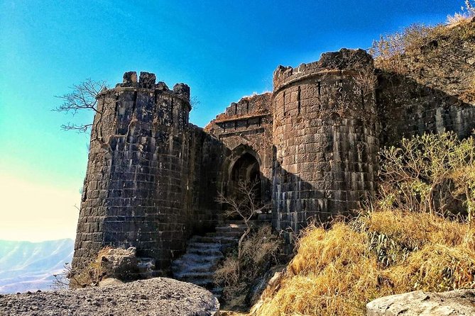
Sinhagad Fort: 40 km
Few forts in Maharashtra carry as much emotional weight as Sinhagad, the Lion’s Fort. It sits at roughly 1,312 metres above sea level and is the site of the famous Battle of Sinhagad in 1670, when Maratha warrior Tanaji Malusare scaled its walls at night and died capturing it from the Mughals. Shivaji, on hearing of Tanaji’s death, is said to have declared that the fort was won but the lion was gone. A memorial to Tanaji stands inside. The fort is motorable from Pune, making it one of the most visited forts in the state. During the monsoon, it fills with cloud cover, street food stalls, and weekend crowds. The walk from the road to the summit takes under an hour.
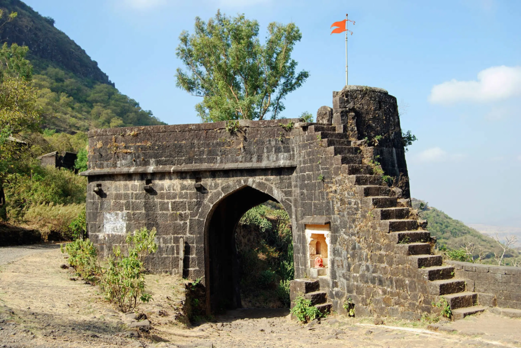
Purandar Fort: 40 km
Purandar shares its distance from Pune with Sinhagad but carries a different kind of history. It is the birthplace of Chhatrapati Sambhaji Maharaj, Shivaji’s eldest son, born here in 1657. It is also the site of the Treaty of Purandar signed in 1665, under which Shivaji had to surrender 23 forts to the Mughals as part of a negotiated settlement with Mughal general Jai Singh I. The fort is twin-structured: the lower fort Madhgad and the upper Ballekilla, both accessible by a winding trail. Purandar is also an active Indian Air Force cantonment, so access is controlled. The monsoon brings the hillside to life with dense greenery.
Tikona Fort: 52 km
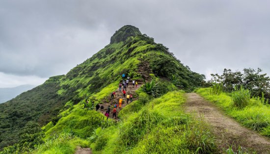
Tikona, meaning triangular in Marathi, is named for its distinctive three-sided summit shape, visible from the Pawna backwaters below. Located near Lonavala, it sits at an elevation of around 3,584 feet and overlooks Pawna Lake on one side and the Sahyadri range on the other. The trek from Tikona Peth village takes about 2 hours and is rated moderate. The monsoon makes the ascent slippery at the upper section but also turns the hillside a vivid green. Tikona is often combined with a visit to Pawna Lake for camping.
Torna Fort: 55 km
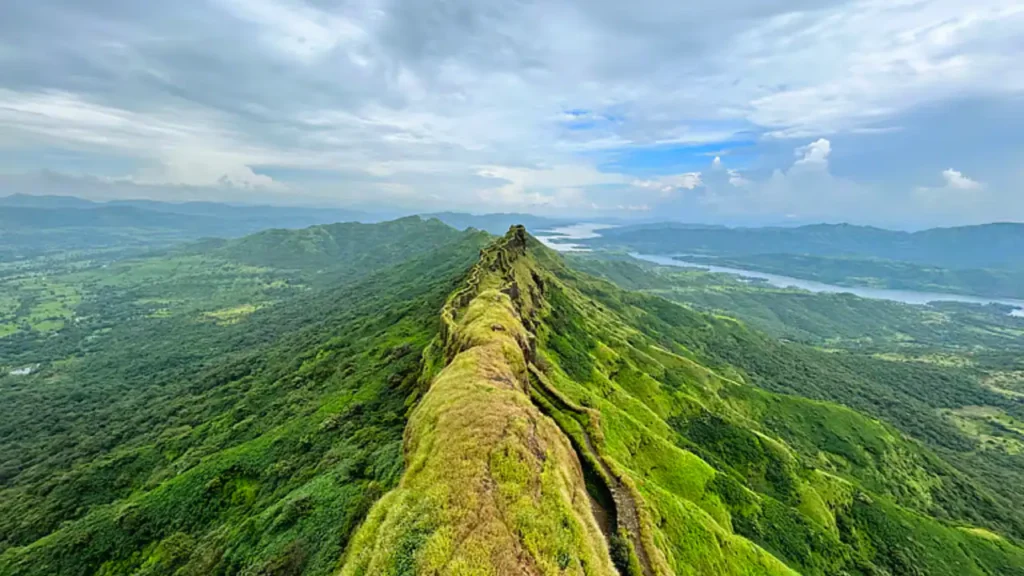
Torna, also called Prachandagad, is the fort that started everything. In 1646, a 16-year-old Shivaji captured this fort, making it the first fort he ever took and the seed from which the Maratha Empire grew. During repairs, he reportedly found buried gold here, which he used to fund the construction of Rajgad Fort just 10 km away. At 1,403 metres above sea level, Torna is also the highest hill fort in Pune district. The British officer James Douglas described it plainly: “If Sinhagad is a lion’s cave, Torna is an eagle’s nest.”
The trek from Velhe village covers about 2.4 km and takes 2 to 3 hours at a steady pace. The final approach has a 60 to 70 degree incline and becomes slippery in rain. The fort contains the Mengai Devi Temple, ancient water cisterns, and the fortified spurs of Budhla Machi and Zunjar Machi. Staying overnight at the fort is no longer permitted by the District Collector’s orders; everyone is required to leave before 5 PM.
Lohagad Fort: 64 km
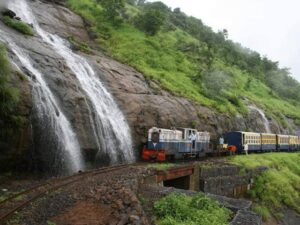
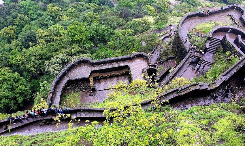
Lohagad, the Iron Fort, sits at 1,033 metres near Lonavala and is one of the most storied forts in Maratha history. Shivaji captured it in 1648, lost it under the Treaty of Purandar in 1665, and retook it in 1670, using it to store the treasury from his Surat campaign. Its most photographed feature is the Vinchukada, or Scorpion’s Tail, a 1,500-metre-long fortified ridge that juts from the main structure and once served as a watchtower. During the monsoon, waterfalls flow along the trekking trail itself. The most scenic approach is from Malavli railway station, about 10 km from the fort, passing the ancient Bhaja Caves along the way.
Rajgad Fort: 64 km
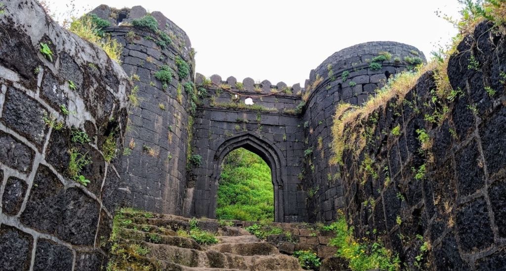
Rajgad translates as King of Forts, and the name is not an overstatement. This was the first capital of the Maratha Empire, where Shivaji lived and ruled for over 26 years before shifting his seat to Raigad. Built at 1,376 metres above sea level, the fort has a base diameter of approximately 40 kilometres, making a full siege almost impossible. Historical events that happened within these walls include the birth of Shivaji’s son Rajaram and the death of his queen Saibai. The fort is divided into three sections: Padmavati Machi, Sanjivani Machi, and Suvela Machi, each with its own trail, gates, and ruins. No entry fee. Open all hours. Cannot be fully explored in a single day.
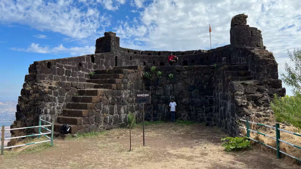
Rohida Fort: 65 km
Also called Vichitragad, Rohida Fort in the Bhor region is 65 km from Pune and one of the quieter options on this list. The trail passes through flowing monsoon streams and dense greenery, and the fort offers good views of the Sahyadri range from the top without the weekend crowds that fill Sinhagad and Lohagad. It is a mid-difficulty trek suited to those who have done a few easy trails and want the next step up.
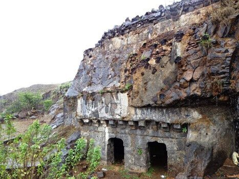
Visapur Fort: 65 km
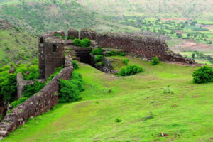
Visapur Fort, a twin to Lohagad, was built by the Marathas to guard trade routes and captured by Shivaji Maharaj before falling to the British in 1818. Larger and more rugged than Lohagad, it boasts extensive fort walls, ancient water cisterns, and caves with historical carvings. The fort’s elevated position offers breathtaking views of the Sahyadris and Pawna Lake. Its challenging trek and less-crowded trails appeal to adventure seekers looking to delve into Maratha history.

Tung Fort: 65 km
Tung sits on the edge of the Pawna Lake backwaters, which makes the approach by road uniquely scenic. The fort is visible from across the water before you even start the climb. At roughly 1,075 metres, the trek is rated moderate and takes about 2 hours to the top. During the monsoon, the hillside turns intensely green and small streams cross the trail. Tung is often combined with nearby Tikona and Lohagad as part of a multi-fort weekend in the Lonavala belt.
Monsoon Trekking: What to Remember
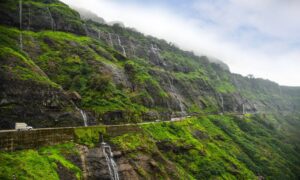
All nine forts turn remarkable between June and September. The trails become slippery, especially at steep rocky sections. Carry grip shoes, rain cover for your bag, and enough food and water as supplies on the trail can be unreliable. Mobile network is limited at most of these forts.
For emergency rescue in the Sahyadris, the Maharashtra Mountaineers Rescue Coordination Centre.