Pune Weather Update: Heavy Thundershowers Cool City; IMD Predicts Thunderstorms till May 14
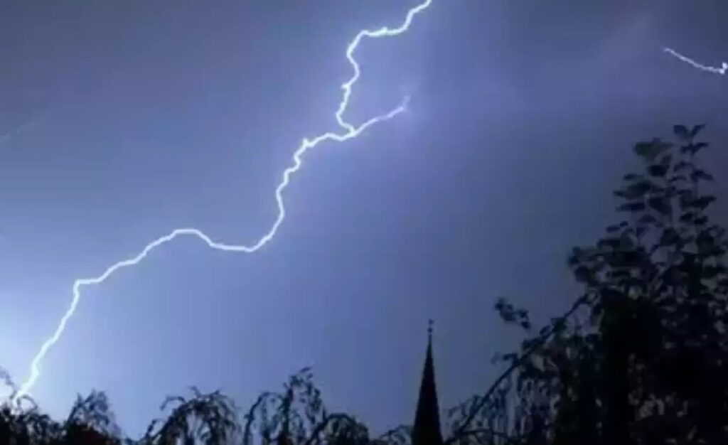
Pune Weather Update: Heavy Thundershowers Cool City; IMD Predicts Thunderstorms till May 14
Pune: Several parts of Pune and its outskirts experienced substantial thundershowers on Friday, offering much-needed relief from the sweltering summer heat. According to data from the India Meteorological Department (IMD), the highest rainfall was recorded in Rajgurunagar at 31.5 mm, followed by Hadapsar (17.5 mm) and Pashan (17 mm). Daund received 12 mm, while Shivajinagar logged 11.2 mm of rainfall.
Other areas that witnessed varying levels of precipitation included Koregaon Park (6 mm), Bhor and Kurvande (2.5 mm each), Chinchwad (1.5 mm), and Magarpatta (1 mm). Light showers of 0.5 mm were also recorded in Wadgaon Sheri, Haveli, Dhamdhere, Narayangaon, Nimgiri, and Dudulgaon.
The rainfall brought a significant drop in maximum temperatures, particularly in areas like Lohegaon, which had consistently breached the 40°C mark throughout April. On Friday, it recorded a maximum of 36.4°C. Shivajinagar, Pashan, and Lavale saw cooler readings of 32.8°C, 33.0°C, and 32.8°C respectively.

Humidity levels surged across the city, contributing to the thundershowers. Lavale reported 100% relative humidity, while Pashan and Magarpatta recorded 97% and 91% respectively.
An IMD official stated, “The current pattern is expected to continue, providing relief from the summer heat. The seven-day forecast shows thunderstorms with lightning and gusty winds of 30–40 kmph are likely to persist until May 14.”
Maximum daytime temperatures in Shivajinagar are expected to stay between 30°C and 31°C, while minimum temperatures will range between 22°C and 24°C. Lohegaon, typically one of the warmer pockets, is forecast to remain stable at around 34–35°C through the week.
The daily weather forecast suggests partly cloudy skies in the mornings, transitioning to generally cloudy conditions by the afternoon and evening, with chances of light rain and thunderstorms continuing. By May 15, skies are expected to remain generally cloudy with the possibility of light showers.
Independent weather expert Abhijit Modak explained the ongoing atmospheric developments: “A dip in the Western Disturbance trough over the Arabian Sea has supported the formation of a weak Upper Air Circulation off the Maharashtra coast. With high moisture levels, this set-up is expected to maintain scattered thunderstorms across the state.”
He added that low-level wind divergence-induced convergence patterns may further enhance thunderstorm activity, particularly over the Sahyadri Ghats and Deccan Maharashtra leeward regions. This weather trend is likely to continue until May 12 or 13.