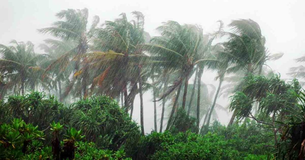
South West Monsoon to further advance in South India

Pune, June 21 : Conditions are favourable for further advance of Southwest Monsoon over some more sections of south Peninsular India, some areas of Odisha, some more belts of Gangetic West Bengal, Jharkhand, Bihar and some tracts of east Uttar Pradesh during next 2-3 days, the India Meteorological Department forecast here on Wednesday.
It further said that heat wave to severe heat wave conditions prevailed over many segments of Chhattisgarh and Vidarbha; over some parcels of east Madhya Pradesh and Interior Odisha.
Heat wave swept across some portions of Telangana; in isolated pockets over east Uttar Pradesh, Bihar and Jharkhand.
Day temperatures were markedly above normal (5.1 degree Celsius or more) at many places over Chhattisgarh and Telangana; at many divisions over Interior north Karnataka, Jharkhand and Vidarbha; at a few swathes over east Madhya Pradesh, Madhya Maharashtra, Bihar and Odisha.
They were appreciably above norm (3.1°C to 5.0°C) at most sectors over Marathwada; at a few niches over Konkan, Goa and coastal Andhra Pradesh; at isolated spots over west Madhya Pradesh, Rayalaseema and Gangetic West Bengal.
They were above par (1.6°C to 3.0°C) at a few sites over Punjab, east Uttar Pradesh, coastal Karnataka, Kerala, Mahe and Lakshadweep; and at isolated nooks over Himachal Pradesh, Sub-Himalayan West Bengal and Sikkim.
Day temperatures were appreciably below normal (minus 3.1°C to -5.0°C) at many divisions over Assam and Meghalaya; at a few sections over east Rajasthan, Tamil Nadu, Puducherry and Karaikal; at isolated pockets over Haryana, Chandigarh and Delhi.
They were below par (-1.6°C to -3.0°C) at many sectors over Nagaland, Manipur, Mizoram and Tripura; at a few sites over Gujarat; at isolated nooks over west Rajasthan and near normal over remaining parts of the country.
The highest maximum temperature of 43.9°C was reported on Tuesday at Ganganagar (west Rajasthan).
The SW Monsoon has been active over Sub-Himalayan West Bengal and Sikkim.
Thunderstorm occurred at isolated niches over east Uttar Pradesh, Nagaland, Manipur, Mizoram, Tripura, Jharkhand, Odisha, Bihar, east Rajasthan, west Madhya Pradesh, Chhattisgarh, coastal Karnataka, Kerala, Mahe, Assam, Meghalaya, Sub-Himalayan West Bengal, Sikkim, coastal Andhra Pradesh, Yanam and Tamil Nadu.
Rain or thundershowers had occurred at most divisions in Arunachal Pradesh, Sub-Himalayan West Bengal, Sikkim and at many parcels in Assam and Meghalaya during last 24 hours.
They had occurred at a few terrains in Nagaland, Manipur, Mizoram, Tripura, Jharkhand, east Uttar Pradesh, west Uttar Pradesh, Uttarakhand, Himachal Pradesh, east Rajasthan, coastal Andhra Pradesh, Rayalseema, Tamil Nadu, coastal Karnataka, Interior south Karnataka, Kerala, Andaman & Nicobar Islands.
They had also occurred at isolated divisions in Gangetic West Bengal, Odisha, Bihar, Haryana, Punjab, Jammu-Kashmir and Ladakh, west Rajasthan, Madhya Pradesh, Vidarbha, Gujarat Region, Konkan, Goa, Madhya Maharashtra, Marathwada, Telangana, Interior north Karnataka and Lakshadweep.
Mainly dry weather prevailed in Chhattisgarh, Saurashtra and Kutch.


